Maps are tricky, mostly because often times, borders are disputed by different parties, and each side want to see the map the way they want to see it. And honestly, we don't envy people in the map making businesses, because they can't please everyone.
Having said that, we are not in that business, we don't make maps nor draw borders. We use common web tools to generate our maps, including Google Maps. And maps usually serve you a dynamic version based on where you are located.
And in some cases, more than 2 versions are served (one for when you are inside each country and a third for international users).
Don't believe us? Go to Google Maps and type Ukraine, you will see them display Crimea as part of Russia (with dashed border, indicating a disputed border)
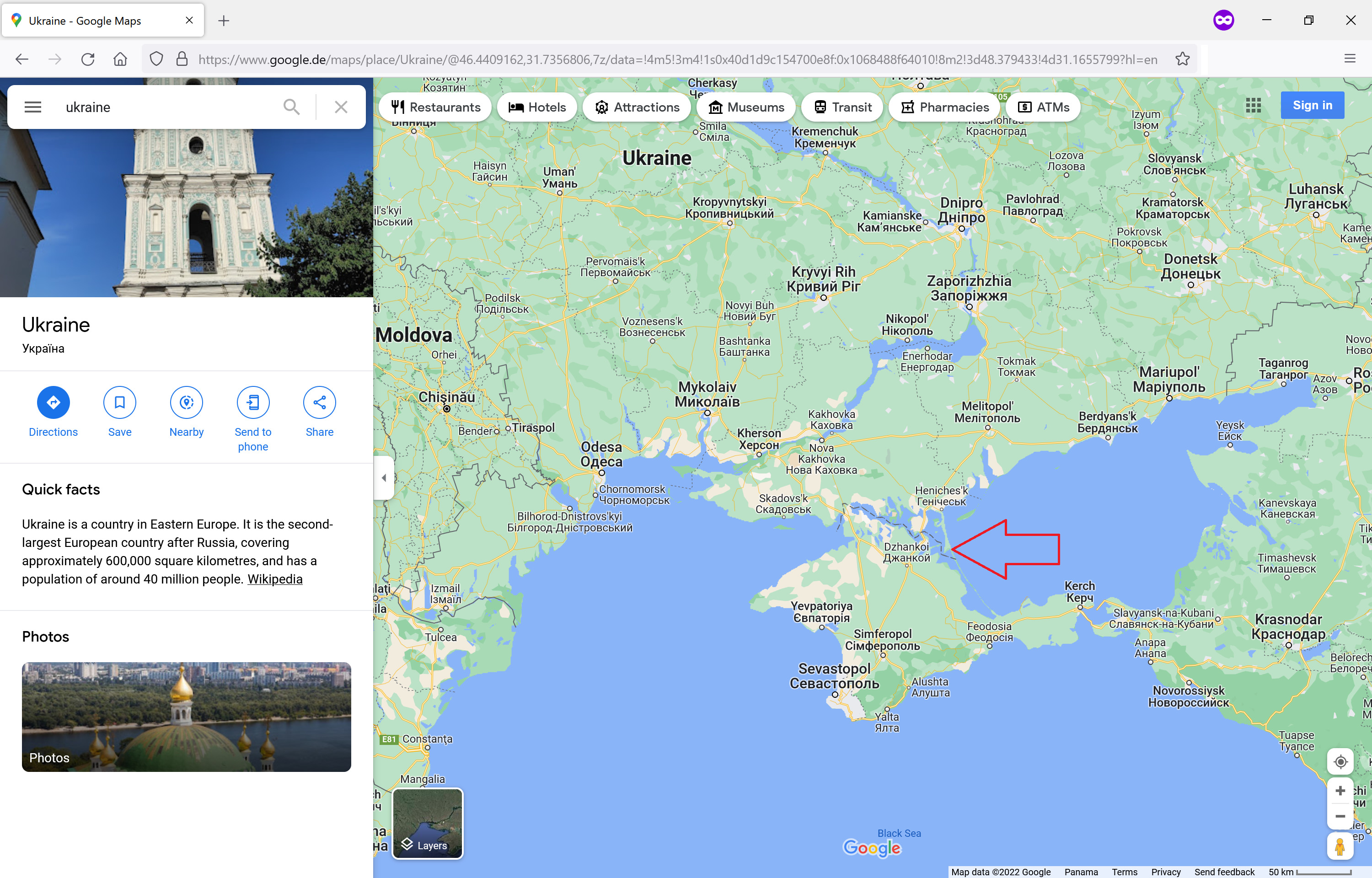
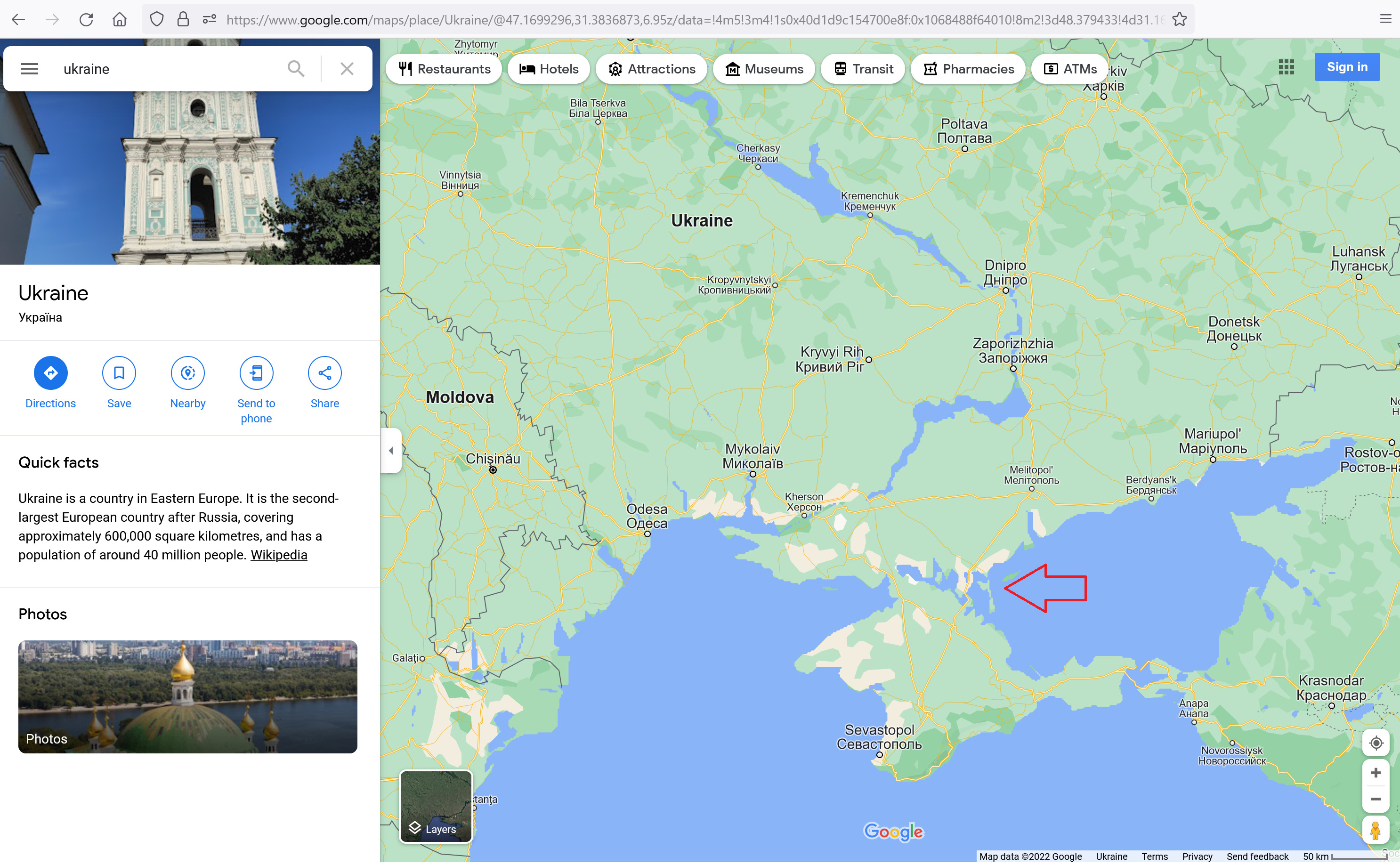

And if you are using it from outside Ukraine (Also, note the source of our map at the bottom, if you are logged into the service)
So in short, we serve Ukraine's map based on the geolocation of the user, and if you are unhappy with how public domains maps look like, feel free to change them!! They are public domain after all, put the effort to create public domain maps, not only you would impact us, but you will impact all online services that display public domain maps!
Was this article helpful?
That’s Great!
Thank you for your feedback
Sorry! We couldn't be helpful
Thank you for your feedback
Feedback sent
We appreciate your effort and will try to fix the article